Tropical Storm Kiko: Tracking the Pacific’s Latest Cyclone
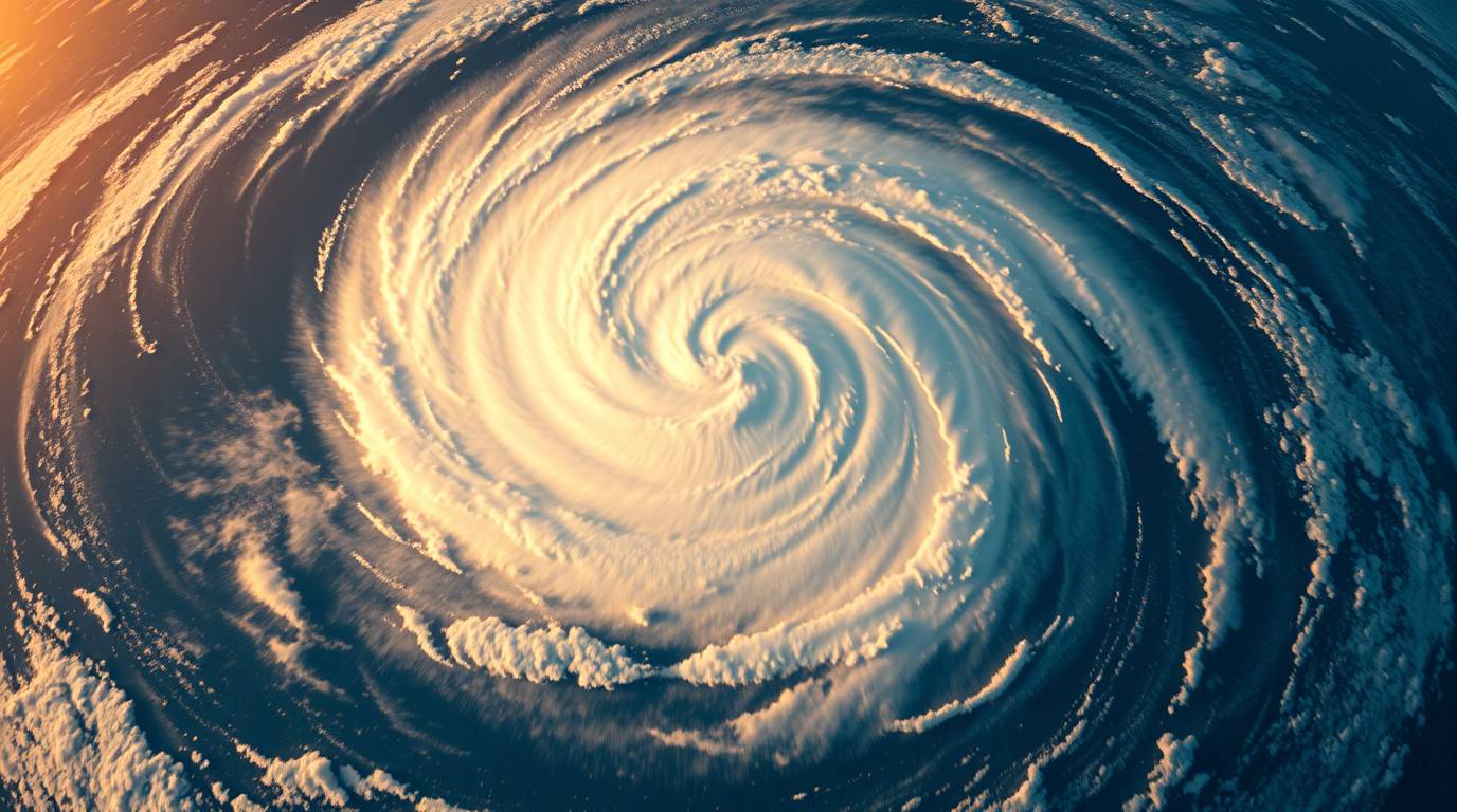
🌪️ The dance of atmospheric forces over the ocean often whispers secrets long before they become headlines. For meteorologists and storm enthusiasts, Tropical Storm Kiko is the latest marvel in the eastern Pacific’s hurricane season—a system born far from land yet commanding attention for its potential evolution. Forming on August 31, 2025, Kiko embodies the delicate interplay of heat, wind, and water that defines tropical cyclones. But beyond its immediate metrics lies a broader story of climate patterns, historical contexts, and the science that guides our understanding of these natural phenomena.
As Kiko churns over open waters, its journey offers a window into the mechanics of storm development and the factors that determine whether such systems intensify into hurricanes or dissipate unnoticed. For coastal communities and curious minds alike, Kiko is a reminder of nature’s power and the importance of vigilance in an era of changing climates.
🔍 1. The Birth of Kiko: From Wave to Named Storm
Tropical Storm Kiko emerged from a cluster of thunderstorms roughly 1,045 miles west-southwest of Baja California’s southern tip. On August 31, 2025, the U.S. National Hurricane Center (NHC) identified sustained winds of 40 mph, crossing the threshold for a named storm. Kiko became the 11th named system in the eastern Pacific for the 2025 season, which began on May 15 and runs through November 30.
Kiko’s formation relied on a recipe of warm ocean waters (around 26°C or higher), low wind shear, and ample atmospheric moisture. Unlike Atlantic storms that often threaten land quickly, Kiko developed in a remote region, allowing it to strengthen without immediate human impact. The NHC noted its “compact core”—a sign of potential rapid intensification—as it moved west at 9 mph, steered by a subtropical ridge to its north.
📍 2. Tracking Kiko’s Path: A Westward Journey
Kiko’s trajectory has been dominated by high-pressure systems pushing it westward into the open ocean. As of September 1, the storm was forecast to intensify into a hurricane by September 2, with peak winds potentially reaching 100 mph. Its path is expected to remain over water, curving west-northwest toward the Central Pacific Basin near Hawaii by September 4–5th.
🗺️ Table: Key Metrics of Tropical Storm Kiko (as of September 1, 2025)
| Attribute | Detail |
| Maximum Sustained Winds | 45 mph (75 km/h) |
| Movement | West at 13 km/h (8 mph) |
| Pressure | 1004 hPa |
| Location | 1,185 miles west-southwest of Baja California |
| Projected Peak Intensity | Category 1 Hurricane (100 mph winds) |
| Areas Affected | None (remained over open ocean) |
While Kiko poses no immediate threat to land, its movement highlights a key feature of eastern Pacific storms: most drift away from North America due to prevailing wind patterns. However, exceptions like Hurricane Hilary (2023) demonstrate how air masses can occasionally deflect storms northward, bringing rain and wind to Mexico or even California.
⚙️ 3. The Science Behind the Storm
Kiko’s development underscores the role of the California Current—a cold oceanic flow that protects the U.S. West Coast from many tropical systems. This current cools surface waters, sapping energy from storms that venture north. As one research journal notes, “California’s aridity juxtaposes the need for the California Current to keep tropical storms at bay”.
Additionally, Kiko’s “compact size” means its winds and rain are concentrated near its center. This trait can lead to rapid intensification under favorable conditions, as seen in earlier forecasts. The storm’s ability to thrive in marginally warm waters (26°C) also illustrates how even subtle temperature shifts influence cyclone behavior.
🌐 4. Kiko in Context: The 2025 Pacific Hurricane Season
The eastern Pacific has been active in 2025, with Kiko marking the 11th named storm. Only one storm—Tropical Storm Chantal—made U.S. landfall, causing flooding in North Carolina in July. Meanwhile, the western Pacific (typhoon basin) has seen its own activity, including Typhoon Danas, which struck Taiwan as a Category 3 storm.
🔄 Table: Eastern vs. Western Pacific Seasons (2025)
| Factor | Eastern Pacific | Western Pacific (Typhoon Region) |
| Season Dates | May 15–Nov 30 | Year-round (peak June–Oct) |
| Named Storms to Date | 11 | 14 |
| Strongest Storm | Kiko (projected) | Kajiki (90 mph winds) |
| Landfall Impact | Minimal (Chantal only) | Significant (e.g., Danas in Taiwan) |
Kiko’ namesake in the western Pacific—Typhoon Cimaron (Kiko)—is a fictional super typhoon described in hypothetical scenarios, emphasizing the importance of distinguishing between real and speculative content.
🛡️ 5. Preparedness and Lessons from History
Though Kiko stays offshore, its existence reinforces the need for readiness. Historical analogs like Hurricane Hilary (2023) show how quickly Pacific storms can deviate toward land. The NHC and Central Pacific Hurricane Center (CPHC) use models ranging from statistical to dynamical to predict such shifts.
For homeowners in vulnerable regions, tips include:
- Monitoring official sources like the NHC and CPHC.
- Understanding evacuation zones.
- Building emergency kits with water, food, and medical supplies.
Hawaii’s residents, though outside Kiko’s path, are already discussing preparedness on social media, highlighting how even distant storms spark vigilance.
💡 6. The Climate Change Connection
While no single storm proves climate change, warming oceans may intensify tropical cyclones over time. Kiko’s ability to strengthen in marginally warm waters aligns with trends toward stronger Pacific storms. Research also suggests that subtropical ridges (which steer systems like Kiko) could shift in a warming climate, potentially altering storm tracks.
✅ Conclusion: Kiko’s Legacy
Tropical Storm Kiko is a testament to nature’s complexity—a remote vortex that captures scientific interest without endangering lives. Its journey reminds us of the dynamic forces shaping our planet and the value of monitoring systems that could one day turn toward home.
As the 2025 season continues, Kiko will be remembered not for destruction, but for the insights it offers into cyclone behavior and the delicate balance of oceanic and atmospheric patterns.
Have questions about tropical storms or preparedness? Share your thoughts in the comments below, and explore our hurricane preparedness guide to safeguard your home and family. For real-time updates, follow the National Hurricane Center and Central Pacific Hurricane Center. Together, we can weather any storm.
👉Please visit for more → Click here!