Hawaii Hurricane Kiko Latest: Path, Impacts, and Safety Updates
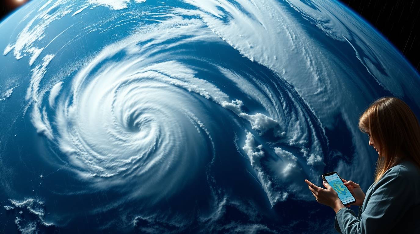
Hurricane Kiko continues to dominate headlines as it churns through the Central Pacific, heading toward the Hawaiian Islands. As a powerful Category 4 storm, Kiko has kept meteorologists and residents on high alert. Fortunately, latest projections indicate a favorable shift northward, likely sparing Hawaii from the most severe impacts. This article provides a comprehensive overview of Kiko’s trajectory, potential effects, and essential safety information. Stay tuned as we break down everything you need to know about Hurricane Kiko’s movement and how it may affect you.
Current Status and Forecast Path
As of September 6, 2025, Hurricane Kiko is located approximately 860 miles east-southeast of Hilo and about 1,065 miles east-southeast of Honolulu. With maximum sustained winds of 140 mph, Kiko is a formidable Category 4 hurricane on the Saffir-Simpson scale. However, the storm is expected to undergo gradual weakening starting Sunday, thanks to unfavorable conditions including cooler ocean temperatures and increasing wind shear.
The National Weather Service forecasts Kiko to continue moving west-northwest at 12 mph over the next few days. Importantly, the forecast track has shifted northward, placing the center of the storm safely north of the Hawaiian Islands by early next week . This means Kiko is likely to pass as a weakened tropical storm north of Oahu and Kauai by Tuesday or Wednesday, significantly reducing the threat of direct hits.
Potential Impacts on Hawaii
Although the direct threat of strong winds and heavy rainfall has diminished, Hawaii is not entirely in the clear. The primary concerns now include dangerous surf conditions and isolated rainfall.
High Surf and Rip Currents
Swells generated by Hurricane Kiko are expected to reach the Big Island and Maui by Sunday . These swells will build gradually, peaking along east-facing shores from late Monday through midweek. Forecasters warn of life-threatening surf reaching 10 to 15 feet, which could lead to significant beach erosion and rip currents. Therefore, beachgoers should exercise extreme caution and heed all advisories.
Rainfall and Wind
While the likelihood of widespread heavy rain has decreased, isolated showers remain possible, particularly along eastern and northern slopes. Additionally, the storm’s passage may bring hot, muggy conditions with light winds, especially if the northern track holds . However, any southward shift in Kiko’s path could increase rainfall chances, so residents should stay updated on the latest forecasts.
Emergency Preparedness
Acting Governor Sylvia Luke issued a statewide emergency proclamation on September 5, 2025, to ensure preparedness. This proclamation activates the Hawaii National Guard and allocates resources for emergency response, including debris clearance and infrastructure security . The emergency period extends through September 19, 2025, unless terminated earlier.
Table: Hurricane Kiko Key Details as of September 6, 2025
| Attribute | Detail |
| Current Location | 860 miles ESE of Hilo, 1,065 miles ESE of Honolulu |
| Maximum Sustained Winds | 140 mph |
| Movement | West-northwest at 12 mph |
| Central Pressure | 946 mb |
| Expected Impact Date | Early to mid-next week |
Safety Recommendations and Next Steps
Given the potential for dangerous marine conditions and uncertain rainfall, residents and visitors should prioritize safety. Here are some key recommendations:
- Avoid east-facing shores during the peak surf period (Monday to midweek).
- Monitor official updates from the Central Pacific Hurricane Center and National Weather Service.
- Prepare emergency kits with essentials like water, non-perishable food, and medications.
- Follow evacuation guidelines if issued by local authorities.
Furthermore, the state encourages everyone to stay informed through reliable channels and avoid spreading unverified information.
Conclusion
Hurricane Kiko’s northerly shift offers relief to Hawaii, minimizing the risks of destructive winds and flooding. However, the storm still poses significant marine threats, including life-threatening surf and rip currents. Stay vigilant by tracking official forecasts and adhering to safety guidelines. Preparedness ensures you and your loved ones remain safe during uncertain weather events. Share this update with others to spread awareness, and continue monitoring trusted sources for the latest information.
Frequently Asked Questions (FAQs)
1. How close will Hurricane Kiko come to Hawaii?
Hurricane Kiko is expected to pass north of the Hawaiian Islands, with its center remaining offshore. The closest approach will likely be north of Oahu and Kauai around Tuesday or Wednesday.
2. What are the main hazards associated with Kiko?
The primary hazards include life-threatening surf and rip currents along east-facing shores, with waves reaching 10-15 feet. Isolated rainfall and muggy conditions are also possible.
3. Is there an evacuation order for Hawaii?
As of now, no evacuation orders are in effect. However, Acting Governor Sylvia Luke has declared a state of emergency to ensure preparedness.
4. How strong is Hurricane Kiko currently?
Kiko is a Category 4 hurricane with sustained winds of 140 mph. It is expected to gradually weaken, becoming a tropical storm by early next week.
5. Where can I get reliable updates on Hurricane Kiko?
For the most reliable information, follow updates from the Central Pacific Hurricane Center and the National Weather Service in Honolulu.
👉Please visit for more → Click here!


